


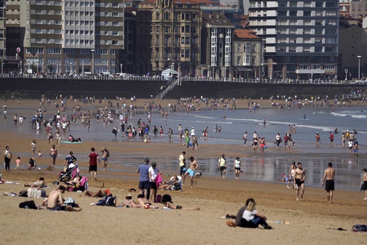
The past weekend was extraordinarily warm for the time of year in most of Spain, with temperatures between 7° and 15° above normal for the season, especially in the northern third of the Peninsula and in the Canary Islands, where temperatures reached summer levels, according to Rubén del Campo, spokesperson for the State Meteorological Agency (Aemet). Between Thursday, when the warm episode began, and Sunday, 10 monthly records were broken in Aemet’s main network stations, eight of them for maximum temperatures. In total, there have been 79 records set in April in both the main and secondary networks, according to meteorologist Roberto Granda from eltiempo.es.
On Thursday, Vigo airport exceeded 30° in April for the first time, while Tenerife South broke its April record by 2.1° with 38.2°, and Lanzarote tied its highest minimum for the month at 24.6°. On Friday, Tenerife South reached 37.2°, breaking its previous record for the second consecutive day, and Ourense saw temperatures of up to 33.9°, a new record for April. On Saturday, Girona airport recorded 31.6°, Ourense reached 33.2°, and various other stations also broke records. On Sunday, Girona airport again exceeded its previous maximum temperature, while Tortosa and Palma also set new records. The week ahead is expected to continue with warm temperatures but not as extreme or widespread.
On Tuesday, strong north winds are expected on the Galician coast, Ebro Valley, and Catalan Ampurdán, with rain forecast for Galicia, Cantabrian region, and the Pyrenees. Snow levels are expected to drop to 1,100 meters in the Pyrenees and 1,400 meters in the Cantabrian Mountains. Temperatures will continue to drop in the north and the Balearic Islands, with significant decreases in the northeastern part of the Peninsula. On Wednesday, similar weather patterns are expected with rainfall in northern Galicia, Cantabrian region, and the Pyrenees, along with snow above 900 to 1,200 meters. Temperatures will continue to decrease in the north and also in the Mediterranean and the Balearic Islands.
By Thursday, there may be a slight increase in instability due to weakening high-pressure systems, leading to scattered showers and potential thunderstorms, especially in the southern interior. This trend of sporadic showers and potential storms may continue into Friday. The weekend holds some uncertainty, with possible storms and rainfall in the southern and western regions of the Peninsula. Temperatures are expected to slightly decrease in the south and increase in the north, with overall mild conditions. In the Canary Islands, temperatures will be above normal early in the week, gradually decreasing from Thursday onwards, with weak rain expected in some areas.


