


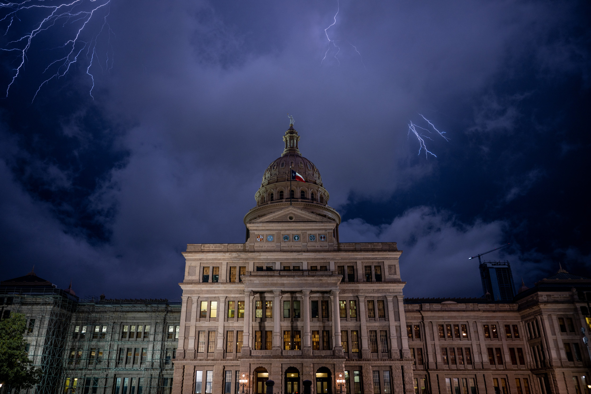
Thunderstorms are forecasted across the southeastern United States and Gulf Coast over the weekend, with flood advisory notices in place for parts of Texas, Oklahoma, Arkansas, and Louisiana. The harsh conditions are due to a quasi-stationary front moving across the southeast, bringing powerful winds, heavy rain, and hail to some areas. Freeze warnings are also in effect for nearly all of Iowa and parts of Minnesota, South Dakota, Nebraska, Wisconsin, and Illinois, with a freeze watch covering eastern Ohio and western Pennsylvania.
The National Weather Service (NWS) has issued a warning for marginally severe thunderstorms capable of strong wind gusts and hail in central Texas and parts of the Southeast U.S. on Saturday. Heavy rain from thunderstorms may cause isolated flash flooding and urban flooding, as well as new and renewed rises on rivers and streams in East Texas and the lower Mississippi Valley. A map accompanying the update shows rain and thunderstorms expected across most of the southeast this weekend, extending as far north as Kansas and North Carolina.
A lingering quasi-stationary front draped across the Southeast, Gulf Coast States, and southern Plains is expected to bring numerous showers and thunderstorms this weekend. The NWS anticipates heavy rain that could lead to scattered flash flooding issues from Texas to Mississippi. The risk of excessive rainfall is marked as a Slight Risk (level 2/4) for much of central and eastern Texas, northern Louisiana, southern Arkansas, and central Mississippi. The weekend will see below-average temperatures for most of the country behind a cold front stretching from the Southeast to the southern Plains, with the West, Southwest, and Southeast experiencing warmer temperatures.
Temperatures are expected to remain below average for much of the country over the weekend, with freezing conditions projected for parts of the Great Plains and some snow showers in New England. The West, Southwest, and Southeast will be the warm spots, with highs in the 70s and 80s. As temperatures moderate on Monday and return flow enters the central U.S., highs in the 70s are expected to surge into the central Plains, while cooler weather remains in the Northeast. Lows in the 30s are forecasted for the Midwest to the upper Ohio Valley, with frost possible in these regions. Light rain is predicted to move across large parts of the U.S., with snow expected in parts of Colorado on Saturday.
A frontal system is set to impact the Pacific Northwest on Saturday evening, bringing showers to the region before pushing rain chances into the northern Plains and Upper Midwest on Monday. Overall, the weekend will see a mix of severe weather conditions, freezing temperatures, and precipitation across various parts of the United States. The NWS continues to monitor the situation and provide updates to ensure the safety of residents in affected areas.


