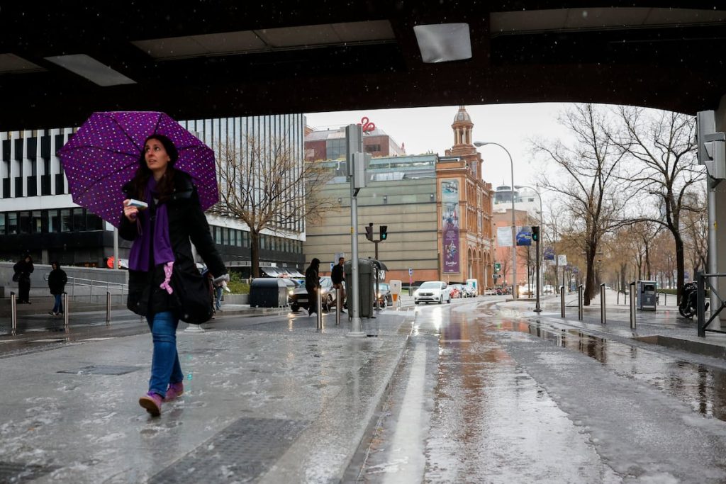
Spain is expected to experience stormy weather over the weekend, with rain in large areas, especially on Saturday, when the snow level will drop to as low as 800 or 1,000 meters in the northwest of the Peninsula, where temperatures will be cold for this time of year, according to Rubén del Campo, spokesperson for the State Meteorological Agency (Aemet). On Sunday, the unsettled weather will continue, with news that meteorologists have been waiting for: rain in the eastern part of the Peninsula and the Balearic Islands, particularly in Catalonia. Between Friday and May 5th, between 50 and 100 liters per square meter are expected in the northern half of Catalonia, while in the south it will be between 30 and 50 liters. The week will start with rain again in Catalonia and the Balearic Islands, with new storms moving in across the country from Tuesday onwards.
On Friday, a Atlantic storm will approach, potentially named Sancho, although there are currently no orange warnings, the second of three levels, for wind. The skies will gradually become cloudy, with rain and showers in Galicia and the Cantabrian region, spreading to the rest of the northern third of the country. These showers may be accompanied by hail and thunderstorms, with scattered showers in other parts of the north and east of the Peninsula. Temperatures will rise in Aragon and Catalonia, and fall in Extremadura and western Andalusia. Catalonia and Aragon are under a yellow rain warning, the lowest level, on the warning map.
Saturday will be the day with the most influence of the storm, with rain in many areas of the country that will extend to the Balearic Islands later in the day. Areas with the least probability of precipitation will be the southern parts of Aragon, the Valencian Community, Murcia, and eastern Andalusia, while the most abundant rain will be in northern Galicia, Asturias, parts of the Central system, and especially in the Pyrenees. As the afternoon progresses, the rain will become more sporadic and scattered. There will also be heavy snowfall, with snow levels ranging from 800 to 1,000 meters in Galicia, Asturias, and northern Castile and Leon, to 1,400 meters in the Central system and 1,600 to 1,800 meters in the Pyrenees.
On Sunday, unstable weather will continue in the eastern part of the Peninsula and the Balearic Islands, with rain and showers more likely and intense in Catalonia and the Balearic Islands. Snow will return to the mountains at levels of 2,000 to 1,500 meters in the northwest and 1,500 to 2,000 meters in the east. Nighttime temperatures will decrease, possibly leading to frost in mountainous areas and other parts of the region. Maximum temperatures will be higher along the Mediterranean coast, in the Ebro valley, and in the Guadalquivir valley. Overall, it will be a cool day in the western part of the Peninsula, with temperatures not exceeding 25°C anywhere in the country. There are no weather warnings for Sunday as of now.
On Monday, instability will focus on the eastern part of the Peninsula and the Balearic Islands, with rain and showers intensifying in Catalonia. This region, which has been suffering from severe drought, could see significant rainfall over the weekend, with 40 to 50 liters per square meter in many parts of the territory. Throughout the rainfall episode, between Friday and May 5th, the northern half of Catalonia is expected to receive between 50 and 100 liters, while the south will see between 30 and 50 liters. The rest of the country will also experience showers, more focused on interior areas and mountainous regions, with snowfall expected in the Pyrenees.
From Tuesday onwards, new storms will bring rain to most of the country, with the heaviest rainfall in the northeast and Catalonia. By Wednesday, May 1st, the focus will shift to these same areas, with lower chances of rain in the Levante region and the Balearic Islands. Temperatures will be cooler than usual, especially on Wednesday, with temperatures dropping 5 to 10 degrees below normal in interior areas. Towards the end of the week, high pressure systems will bring drier weather to the northern third of the Peninsula, with temperatures gradually rising. In the Canary Islands, light rain is expected in the northern parts, with temperatures remaining stable or slightly decreasing.


